Urban Floods Cause Wage Loss for Low-Income Commuters in Bengaluru, Studies Find
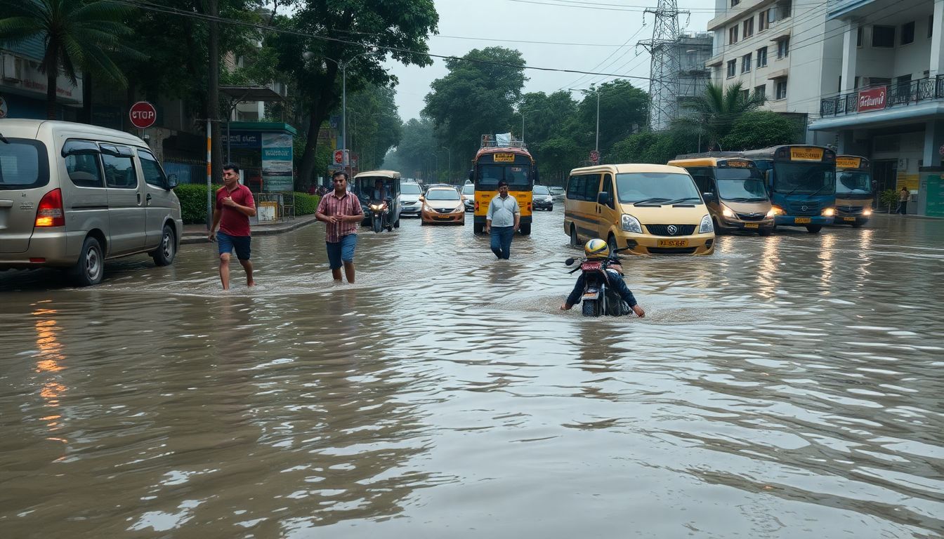
Recent research examining climate resilience in Bengaluru has highlighted the severe impact of urban flooding on vulnerable residents and public transport systems, with researchers finding that 34% of low-income commuters reported wage losses due to flood disruptions.
A study conducted by professors at the Indian Institute of Science (IISc) and published by Springer showed that recurring urban floods and fare hikes disproportionately affect low-income commuters. A second study, conducted by researchers from the National Institute of Technology Patna and the Department of Architecture at Dayananda Sagar College of Architecture in Bengaluru, revealed that Bellandur Ward is structurally susceptible to flooding, where even moderate rainfall can trigger extreme flood risks.
According to Prof. Ashish Verma, professor of transportation system engineering at IISc, lower-income residents face greater hardship because they lack options like working from home or paying for expensive alternative transport. He noted that the public transit system does not adequately protect these commuters during climate disruptions, resulting in an unequal distribution of flood impacts.
The IISc study also evaluated commuter responses to fare increases. Based on 184 valid responses, researchers found that 31.5% of public transport users shifted to non-public transport following fare hikes, with male and lower-income commuters showing the highest sensitivity to price changes. Prof. Verma cautioned that this shift undermines citywide congestion goals by pushing commuters toward private vehicles.
Prof. Verma stated that climate resilience must be integrated into long-term transport planning through coordination between transport agencies and departments handling road and drainage infrastructure. He recommended improving bus frequency, deploying real-time disruption alert systems, and fixing first- and last-mile connectivity such as footpaths and transit hub access.
The flood risk assessment for Bellandur Ward found that rapid urbanisation, paved surfaces, and inadequate stormwater drainage have intensified flood vulnerability. Researchers utilised GIS data, Indian Meteorological Department rainfall records, and drainage maps, validating their findings against documented floods in 2017, 2020, and 2022.
Experts noted that natural drainage channels and wetlands in Bellandur have been encroached upon, while the mandatory 35-metre buffer zone around lakes is routinely ignored, creating significant surface runoff during rain events.